A14 Improvement Scheme - Board 24 West End Brampton
Description
The A14 Cambridge to Huntingdon Improvement Scheme was led by MOLA-Headland Infrastructure (a consortium of Museum of London Archaeology and Headland Archaeology) and was funded by National Highways. These interpretation boards were installed by Cambridgeshire County Council with Oxford Archaeology East as part of a project funded by National Highways.
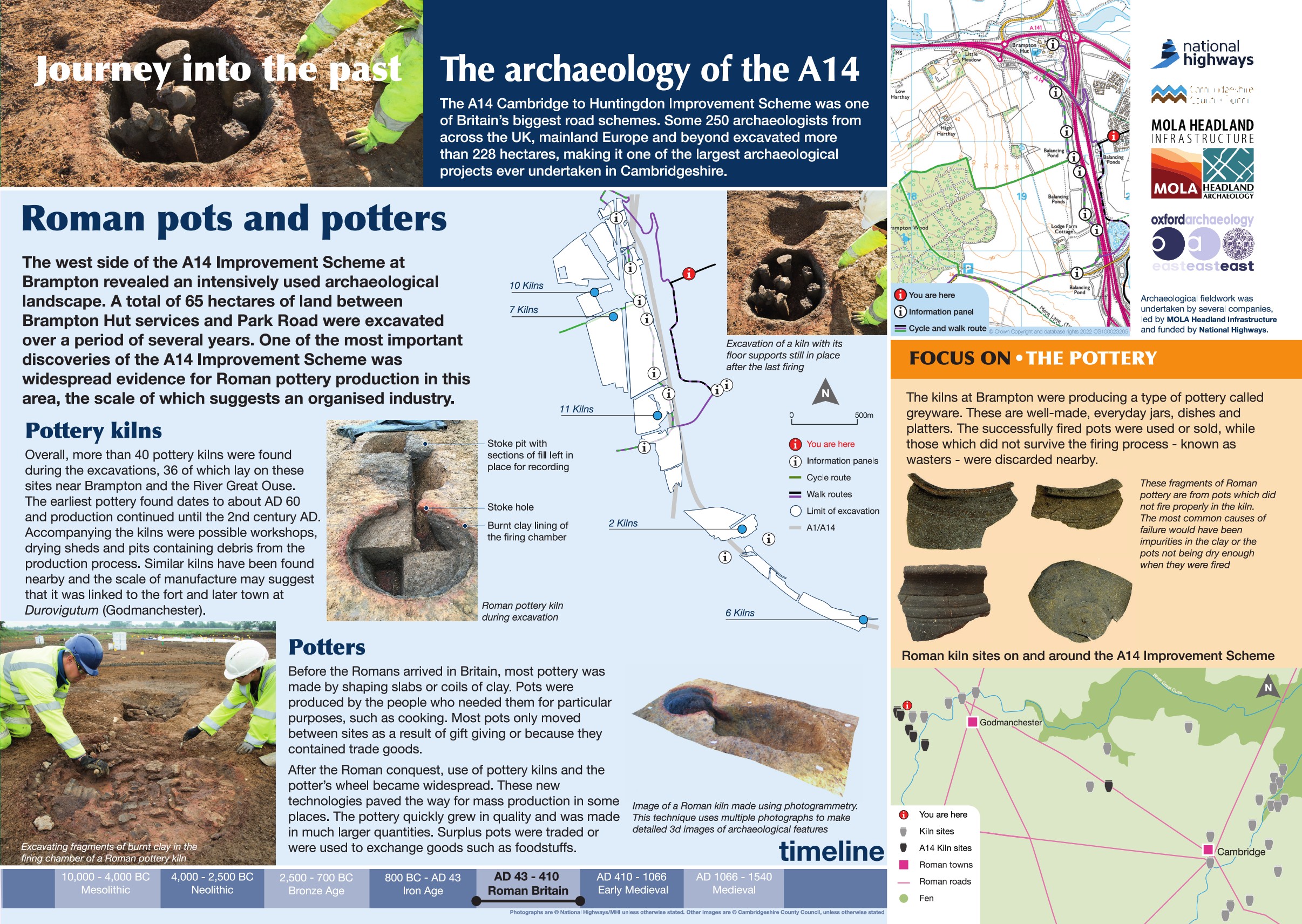
The west side of the A14 Improvement Scheme at Brampton revealed an intensively used archaeological landscape. A total of 65 hectares of land between Brampton Hut Services and Park Road were excavated over a period of several years. One of the most important discoveries of the scheme was widespread evidence for Roman pottery production in this area, the scale of which suggests an organised industry.
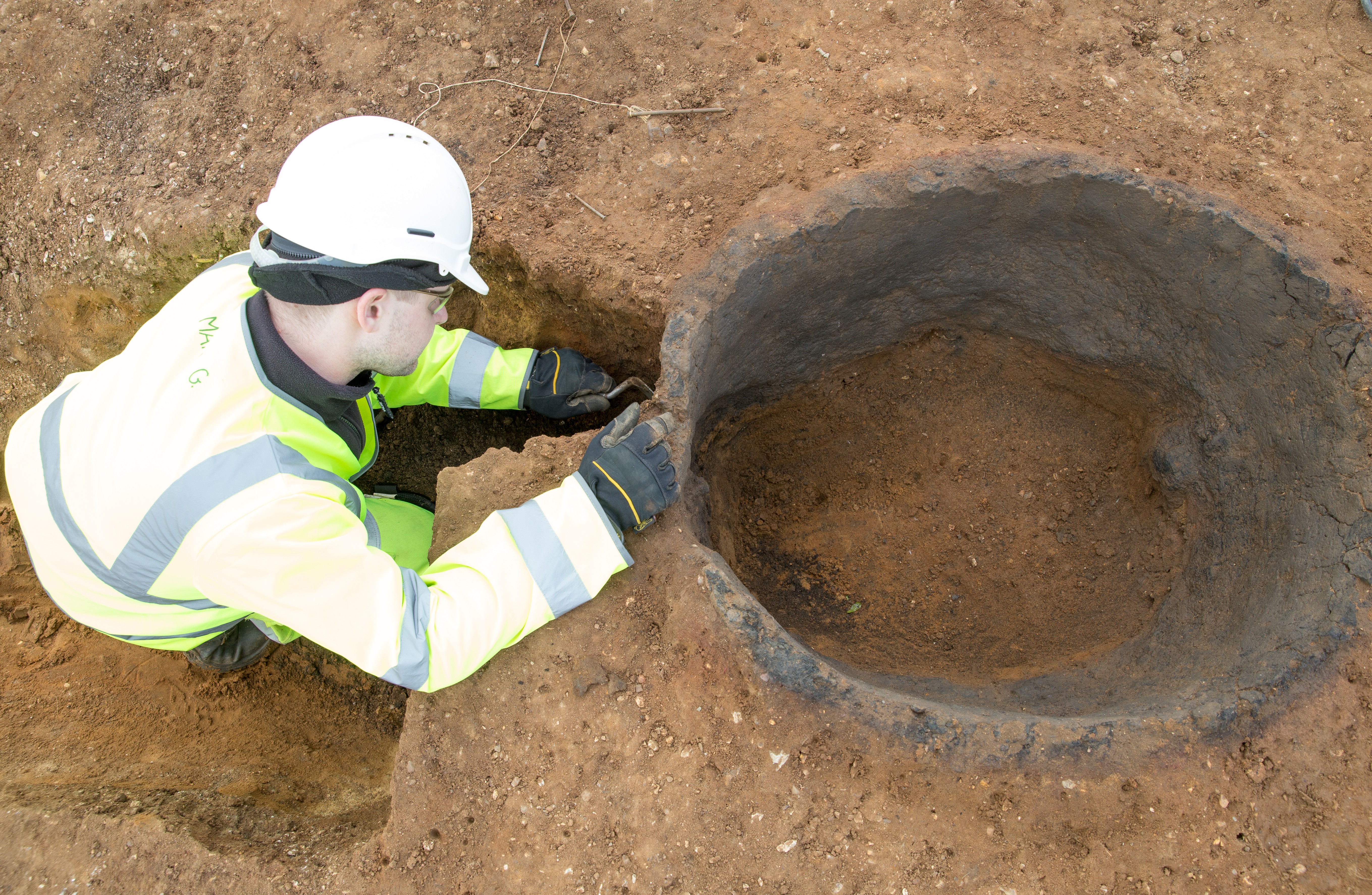
Overall, most than 40 pottery kilns were found during the excavations, 36 of which lay on these sites near Brampton and the River Great Ouse. The pottery types identified range from AD 60 until the 2nd century AD. Accompanying the kilns were possible workshops, drying sheds and pits containing waste from the production process.
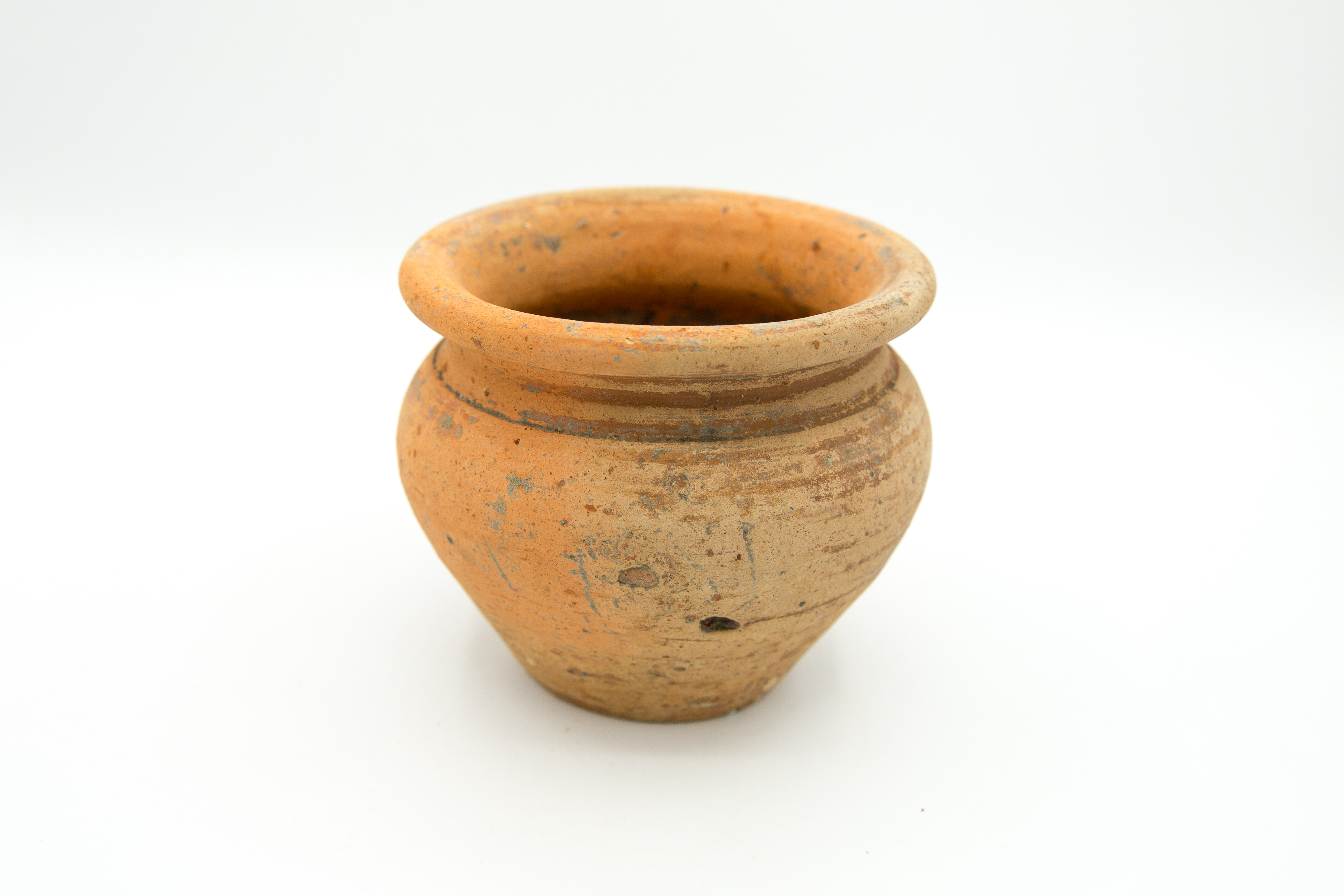
Before the Romans arrived, most pottery was shaped from slabs or coils of clay and production was for personal consumption and for practical purposes. Pottery only moved between sites as a result of gift giving or because they were containers for trade goods. After the Roman conquest, more industrialised processes were brought in, paving the way for industrial scale production and distribution. Pottery quickly grew in quality and quantity and distribution became more widespread.
Find out more
Cambridgeshire Historic Environment Records
Romano-British pottery kiln site, Brampton
Roman kilns, inhumations and enclosures (TEA 7a & 10), Brampton
Iron Age settlement activity and Roman pottery kilns, Brampton
Roman enclosures, TEA 16, Buckden
Online project archive
A14 Cambridge to Huntingdon Improvement Scheme
A14 Road Trip to the past storymap
News
Revolutionary Romans and technology on the A14 Cambridge to Huntingdon improvement scheme | MOLA


