A14 Improvement Scheme - Board 25 Lodge Farm Cottages

Description
The A14 Cambridge to Huntingdon Improvement Scheme was led by MOLA-Headland Infrastructure (a consortium of Museum of London Archaeology and Headland Archaeology) and was funded by National Highways. These interpretation boards were installed by Cambridgeshire County Council with Oxford Archaeology East as part of a project funded by National Highways.
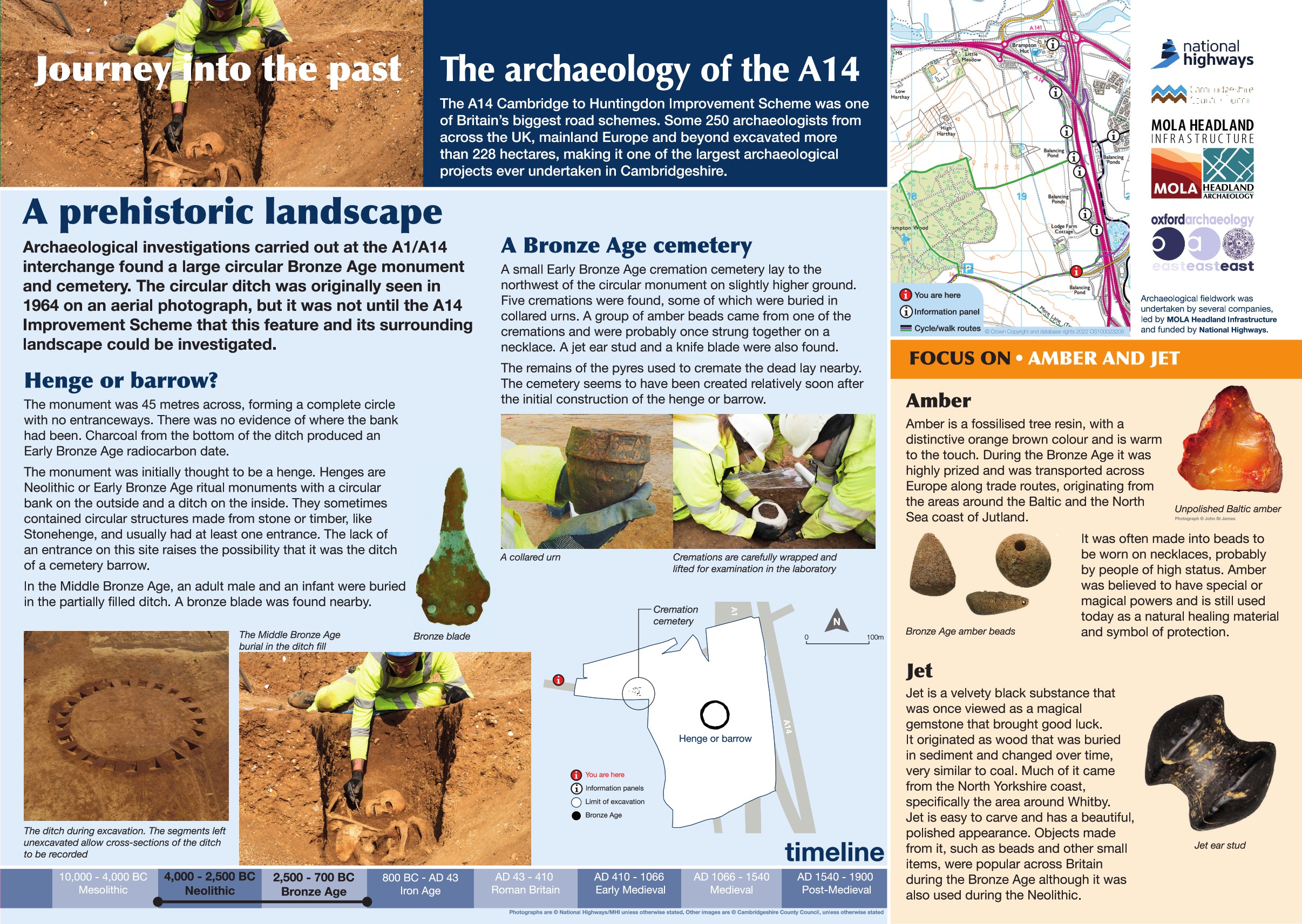
Recent archaeological investigations at the A1/A14 interchange have revealed a remarkable discovery: a large circular monument dating back to the Early Bronze Age.
This feature, first spotted on aerial photographs in 1964, is a perfectly round ditch measuring about 45 metres across. Unlike many similar monuments, it has no entrance and no evidence of an external bank, making its purpose uncertain. Charcoal found at the base of the ditch provided an Early Bronze Age date (around 2500–1500 BC).
At first, archaeologists thought it might be a Neolithic henge, but the lack of an entrance ruled that out. Another possibility was a Bronze Age barrow, yet the absence of a bank makes that interpretation uncertain too.
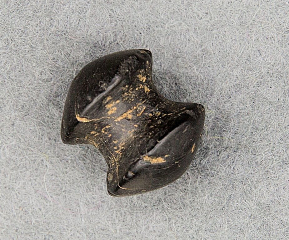
Although the monument was created in the Early Bronze Age, it wasn’t until the Middle Bronze Age (1500–1000 BC) that burials were added. Two individuals—an adult male and an infant—were placed in the ditch. Nearby, a small cemetery of five cremations from the Early Bronze Age was also discovered, just northwest of the circular feature.
This find offers a fascinating glimpse into how landscapes and monuments were reused and reinterpreted over time.
Find out more
Cambridgeshire Historic Environment Records
Neolithic Ring Ditch and Bronze Age Cremation cemetery, Brampton
Online project archive
A14 Cambridge to Huntingdon Improvement Scheme
A14 Road Trip to the past storymap
News
A14C2H archaeology shines light on 6,000 years of history | MOLA


