A14 Improvement Scheme - Board 27 Lodge Farm Cottages north
Description
The A14 Cambridge to Huntingdon Improvement Scheme was led by MOLA-Headland Infrastructure (a consortium of Museum of London Archaeology and Headland Archaeology) and was funded by National Highways. These interpretation boards were installed by Cambridgeshire County Council with Oxford Archaeology East as part of a project funded by National Highways.
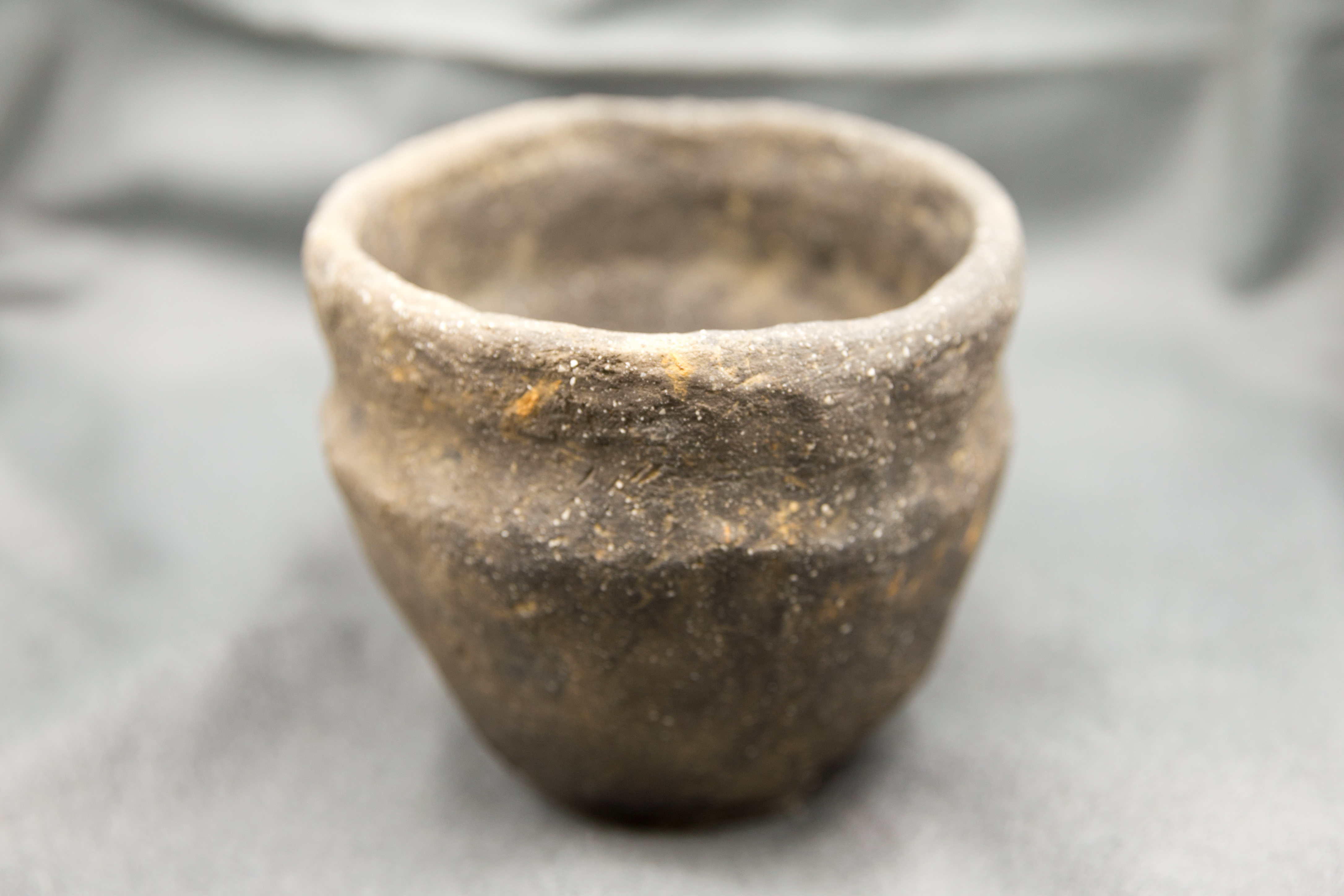
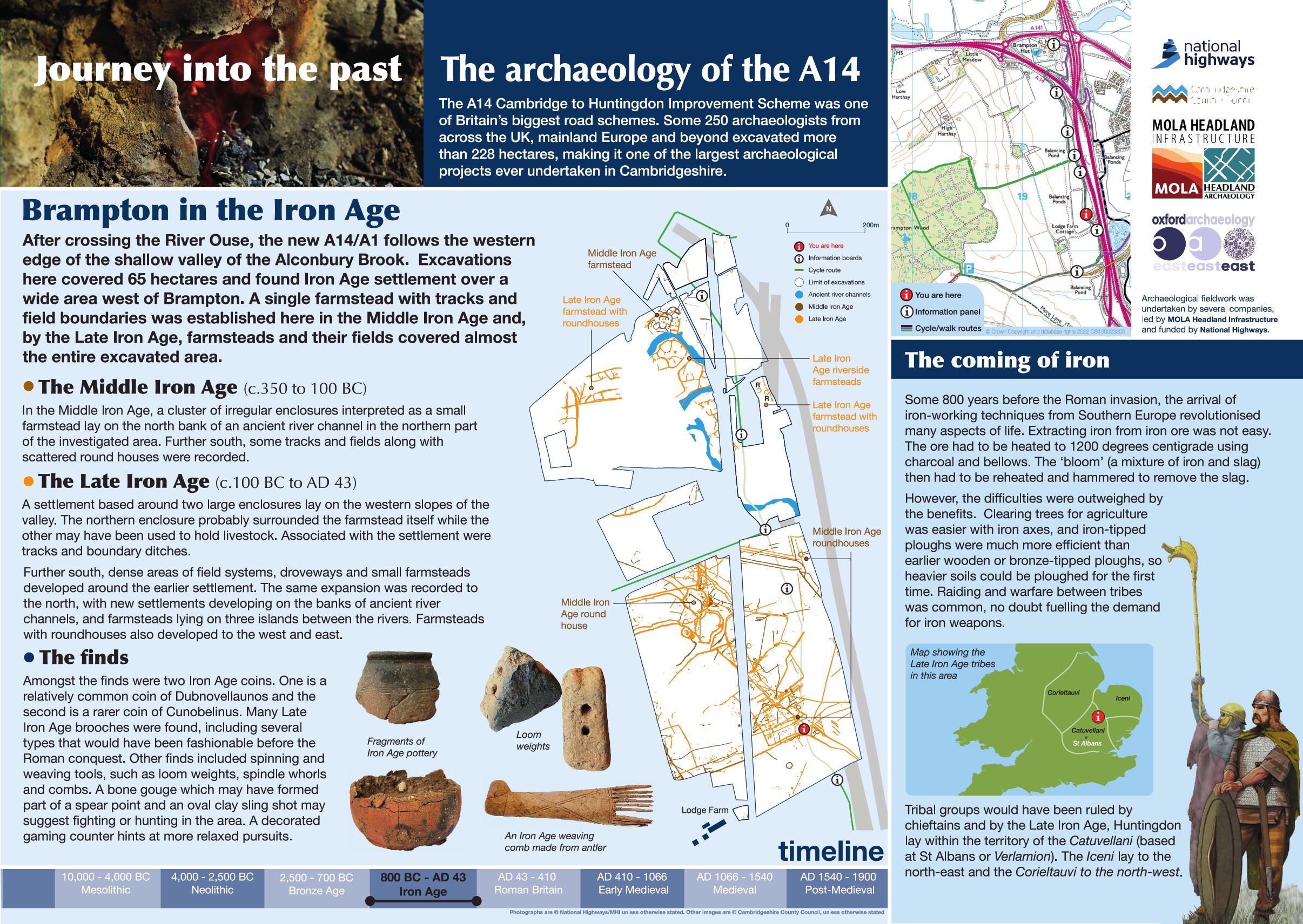
As part of the A14/A1 improvement works, archaeologists explored 65 hectares along the western edge of the Alconbury Brook valley, just west of Brampton. These excavations revealed a fascinating story of Iron Age life spread across the landscape.
The earliest activity dates to the Middle Iron Age (c. 350-100 BC), when a small farmstead occupied the north bank of an ancient river channel. Here, archaeologists found several enclosures, while to the south lay scattered roundhouses, tracks, and fields—evidence of a modest rural community.
By the Late Iron Age (100 BC- 43 AD, settlement had expanded significantly. To the north, a farmstead enclosed by boundaries stood on the western slope of the valley, surrounded by fields and trackways. To the south, the landscape became busier, with dense field systems, more trackways, and small farmsteads developing around the earlier settlement.
These discoveries give us a vivid picture of how communities grew and adapted over time, shaping the countryside we know today.
Find out more
Cambridgeshire Historic Environment Records
Early prehistoric and Iron Age settlement at Grove Farm, Brampton
Online project archive
A14 Cambridge to Huntingdon Improvement Scheme
A14 Road Trip to the past storymap
News
A14C2H archaeology shines light on 6,000 years of history | MOLA


