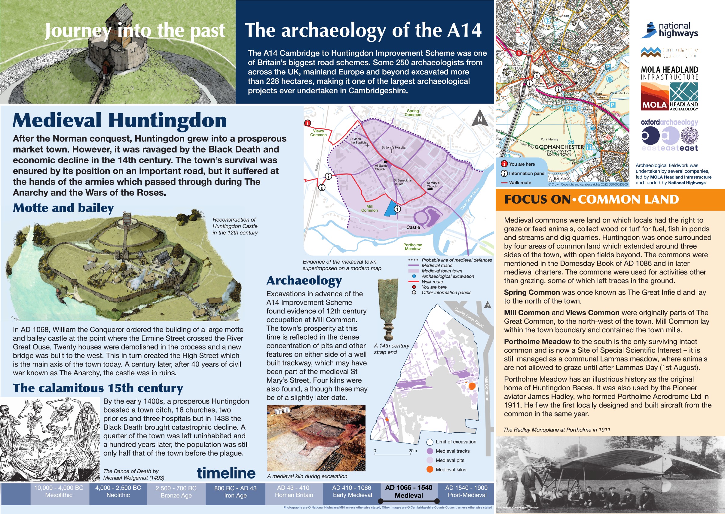
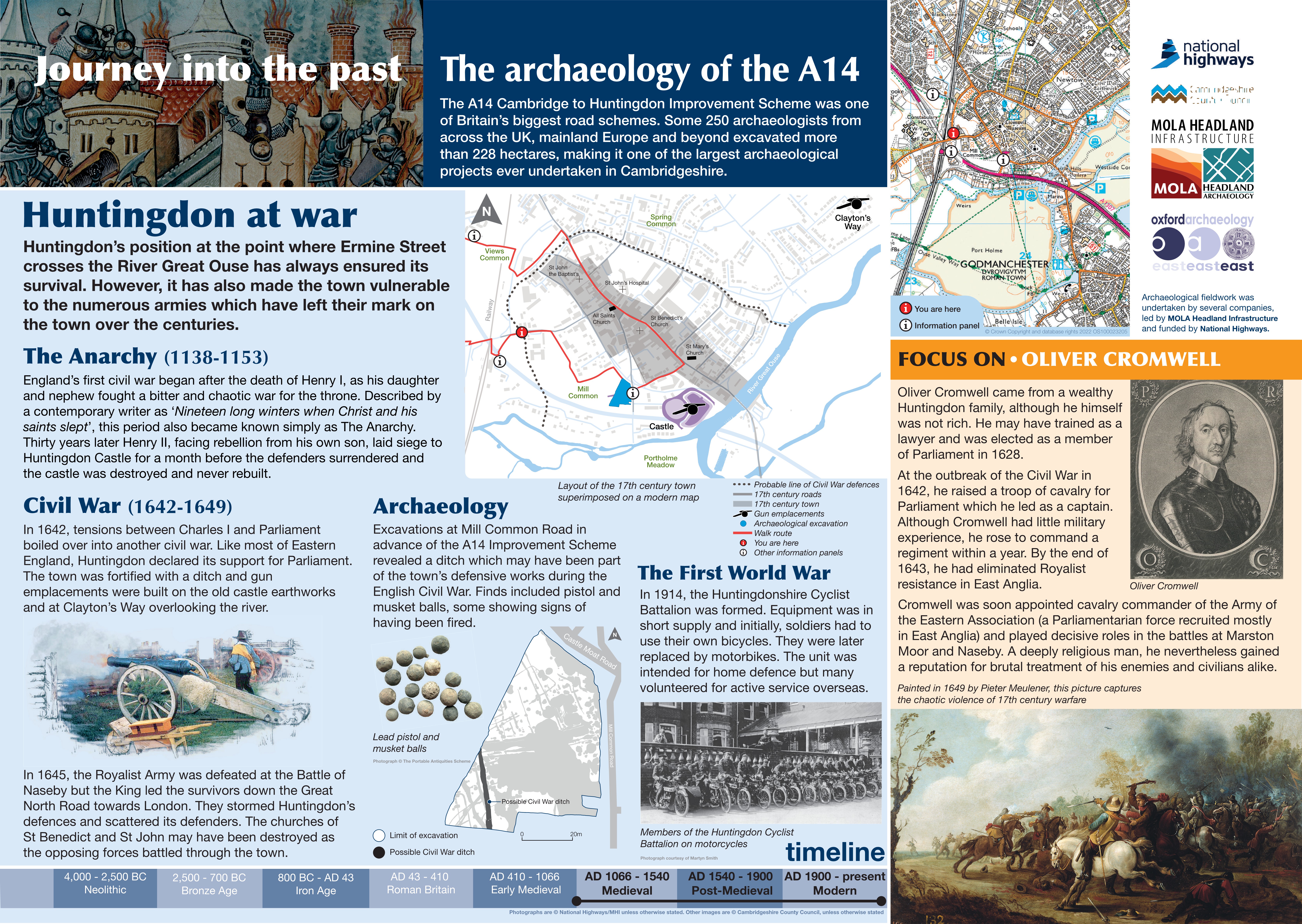
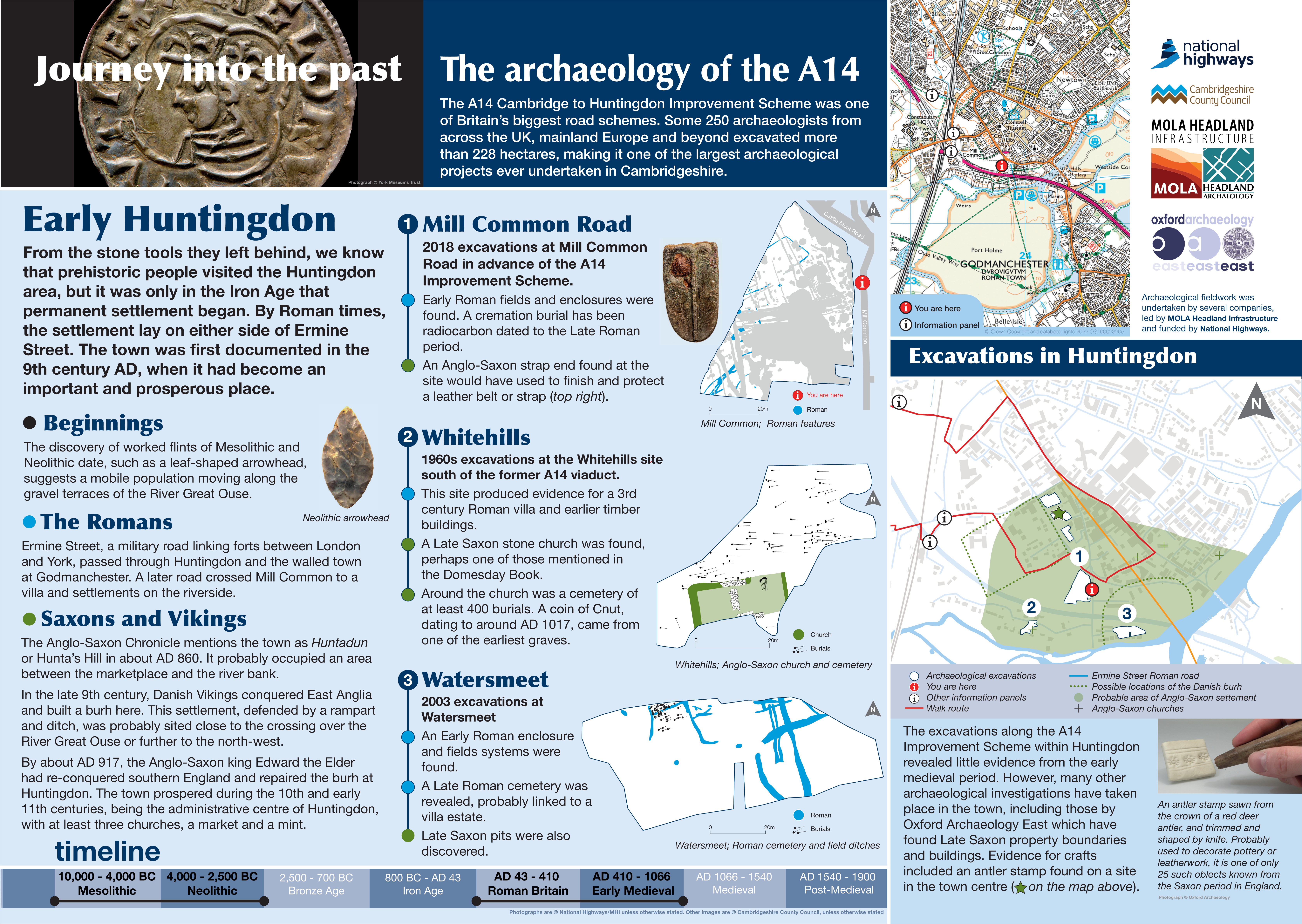
A14 Improvement Scheme suggested walking route Huntingdon town centre
Disclaimer: This route is a suggestion based on existing rights of way. It has not been tested. This route is through Huntingdon and users should always follow the signposted directions.
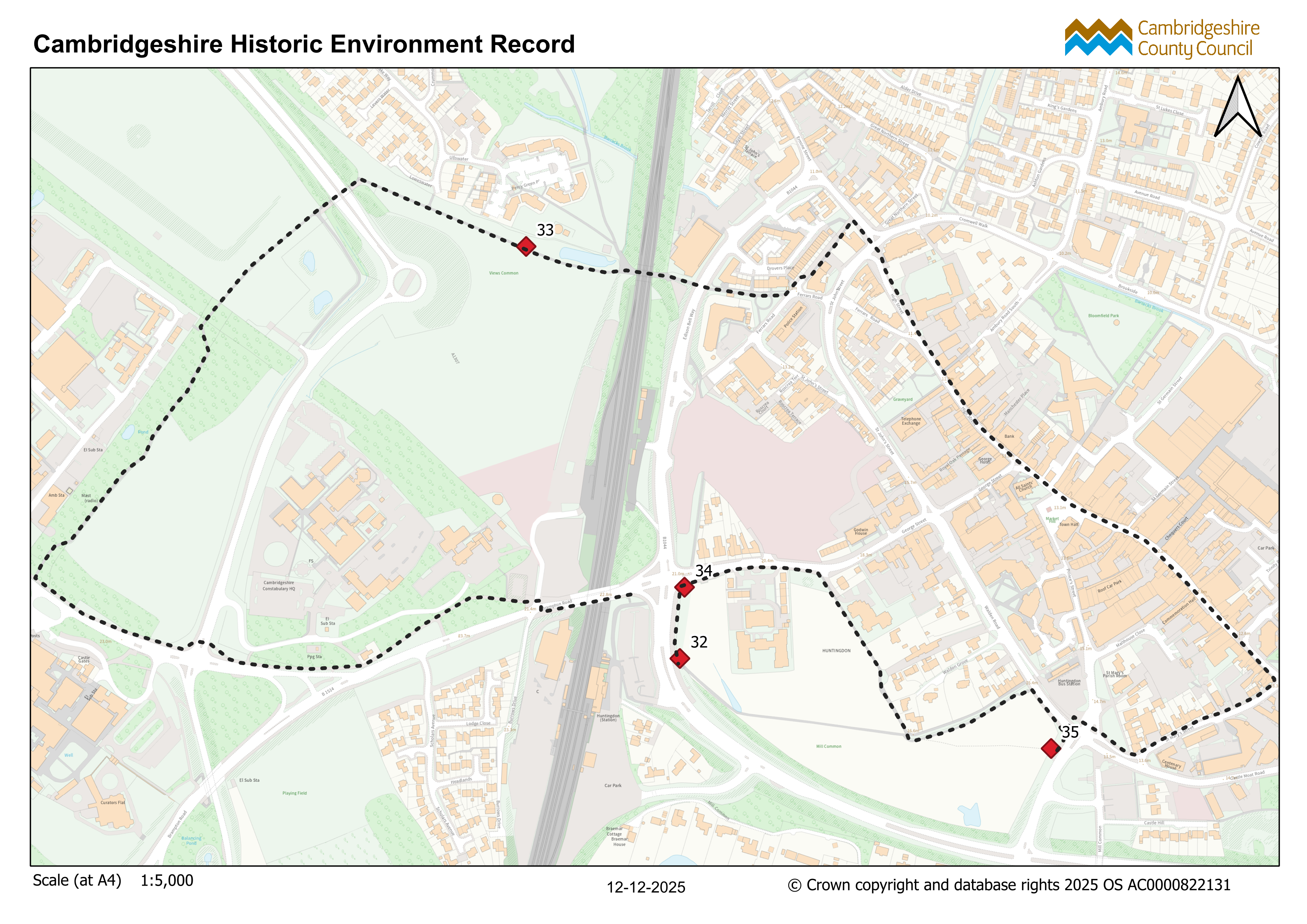
Approximate length of route 3.6km.
Start: Huntingdon railway station
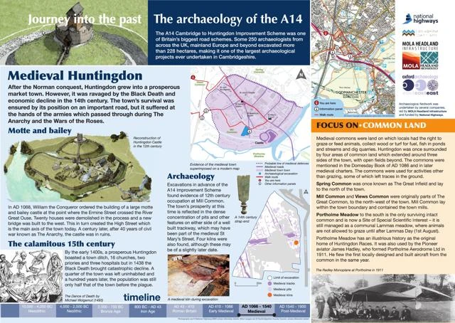
Walk east exiting the station and turn north to walk around Mill Common (board 32)
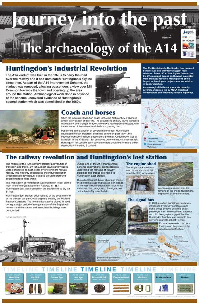
Turn east towards town following Brampton Road past the Sebastopol Cannon then follow the footpath around Mill Common to Board 35
Cross the road junction at the pedestrian crossing and turn east and head towards St Mary's Street
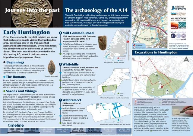
Turn northwest and follow the High Street to St John's Street
Cross the road junction at the pedestrian crossing and join Ermine Street
turn southwest along public footpaths at Dryden's Walk then west past Ferrars Hall.
Turn northwest to use the pedestrian crossing over Edison Bell Way
At the superstore turn west to follow the public right of way to Views Common (Board 33)
Follow the public right of way around Views Common, past Hinchingbrooke Hospital until you rejoin Brampton Road, cross Views Common Road using the pedestrian crossing
Turn east towards the town following the public right of way to the railway station.