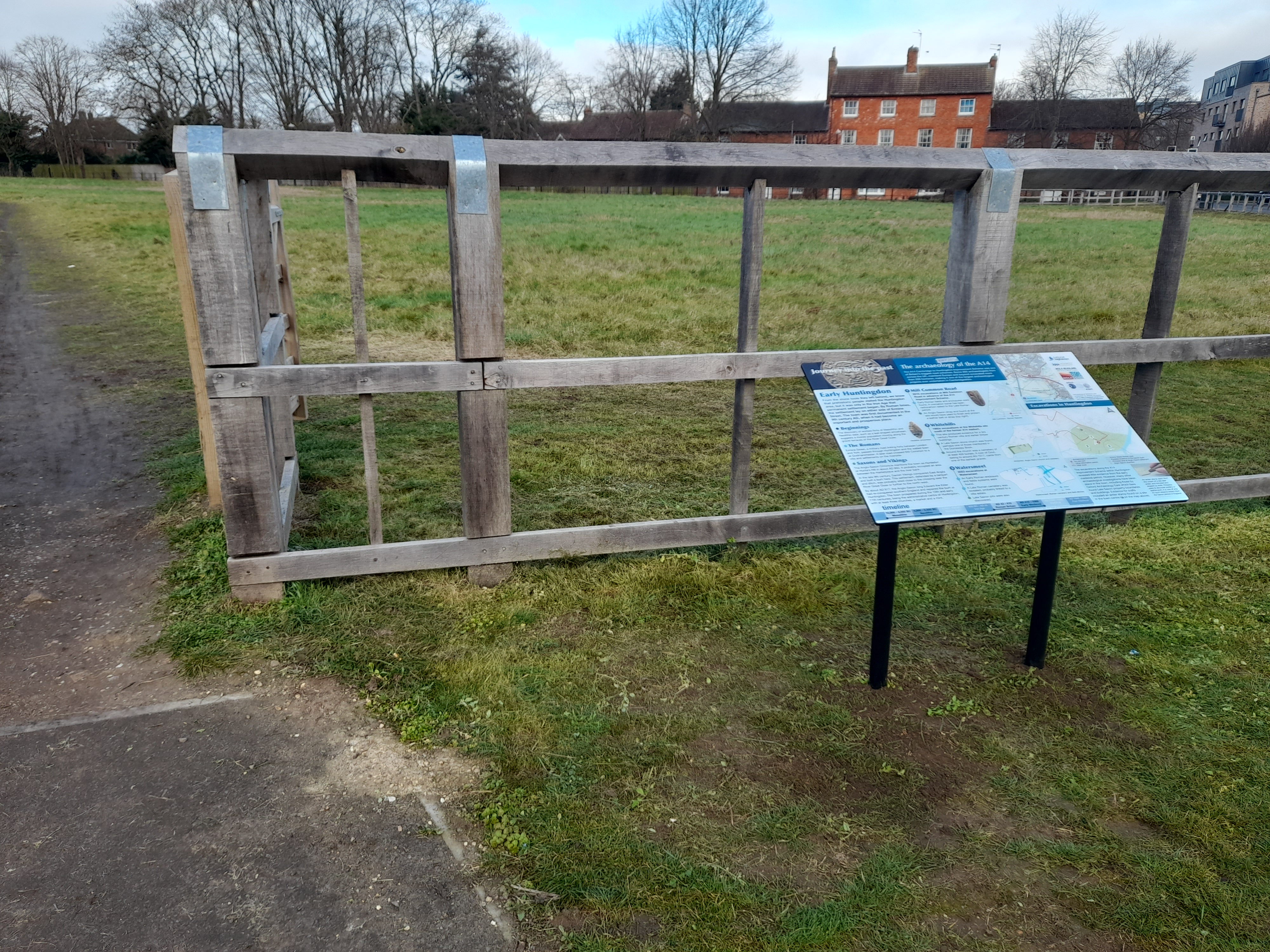
A14 Improvement Scheme - Board 35 Mill Common
Description
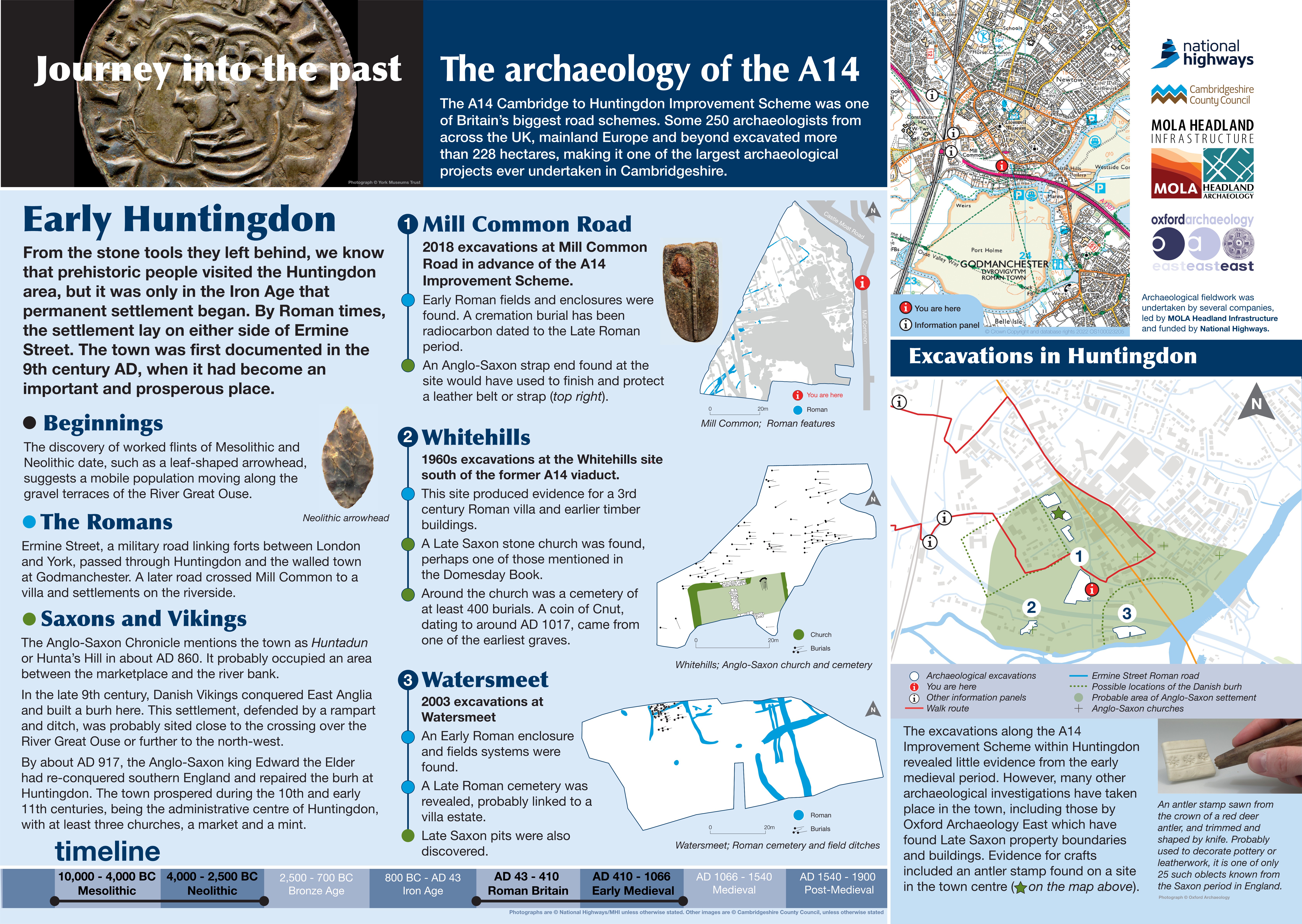
The A14 Cambridge to Huntingdon Improvement Scheme was led by MOLA-Headland Infrastructure (a consortium of Museum of London Archaeology and Headland Archaeology) and was funded by National Highways. These interpretation boards were installed by Cambridgeshire County Council with Oxford Archaeology East as part of a project funded by National Highways.
Permanent settlement in the Huntingdon area dates to the Iron Age to Roman period with evidence of enclosures and field systems at Watersmeet, Pathfinder House, Percy Road and at Mill Common. Ermine Street was a military road linking forts between London and York passing through Huntingdon and Godmanchester.
The town was mentioned in the Anglo-Saxon Chronicle in around AD860 with a probable focus between the market and the river bank. In the late 9th century a burh was built here by the Danes. In around AD 917 the area had been re-conquered by the Saxon king Edward the Elder and the town prospered during the 10th and early 11th centuries. At least three churches, a market and a mint were located here.
At Mill Common, excavations revealed Early Roman fields and enclosures. A cremation burial was radiocarbon dated to the late Roman period.
Find out more
Cambridgeshire Historic Environment Records
Roman and medieval settlement, Mill Common, Huntingdon
Earthwork features at Mill Common, Huntingdon
Online project archive
A14 Cambridge to Huntingdon Improvement Scheme
A14 Road Trip to the past storymap

