A14 Improvement Scheme - Board 29 Brampton Wood
Description
The A14 Cambridge to Huntingdon Improvement Scheme was led by MOLA-Headland Infrastructure (a consortium of Museum of London Archaeology and Headland Archaeology) and was funded by National Highways. These interpretation boards were installed by Cambridgeshire County Council with Oxford Archaeology East as part of a project funded by National Highways.
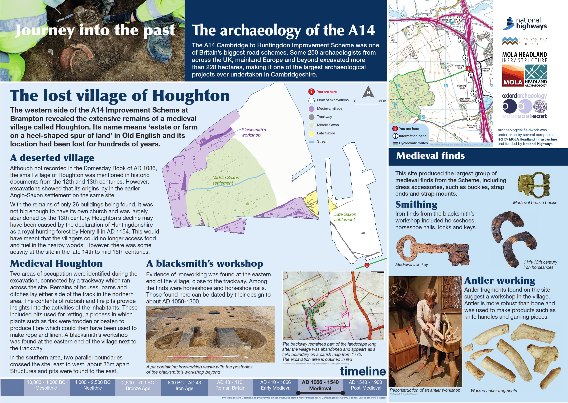
This board looks at the medieval landscape west of Brampton and the lost medieval village of Houghton. Mentioned in historic documents in the 12th century it appears to have largely disappeared by the 13th century.
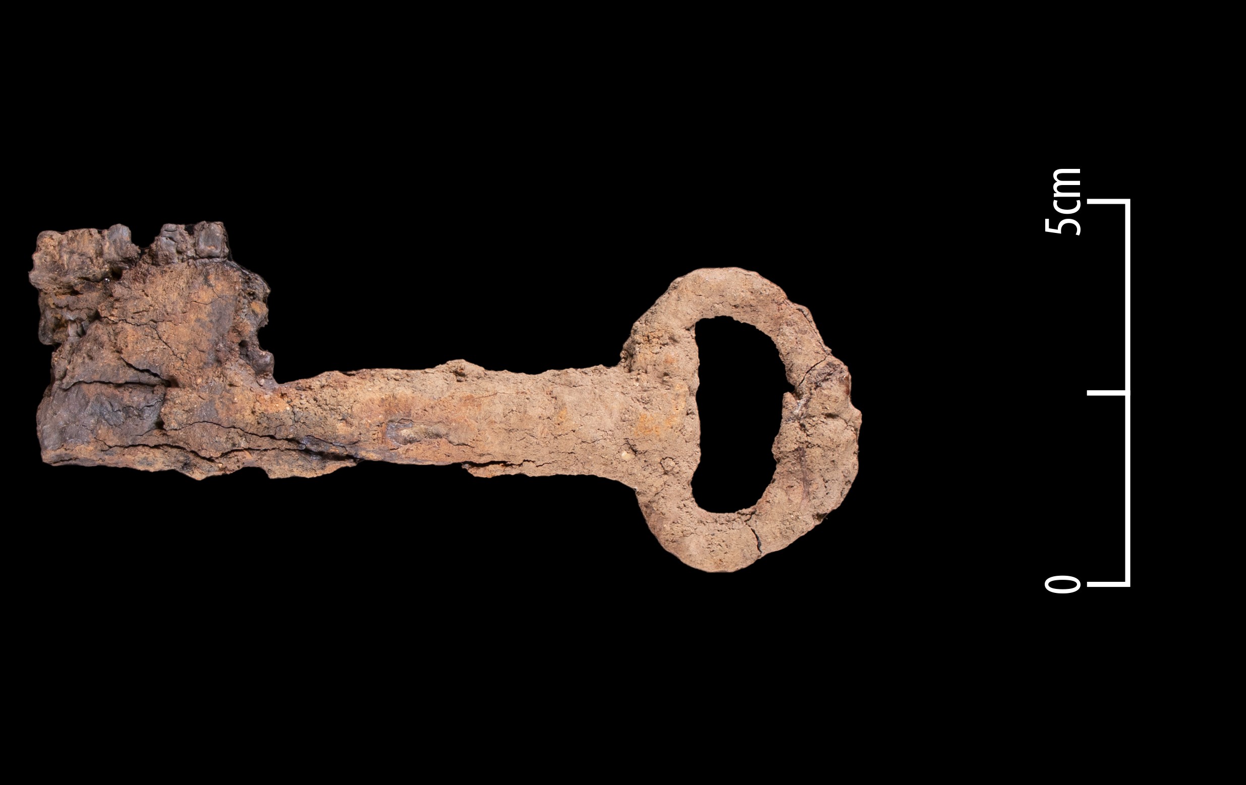
Excavations have shown, however, that the origins of the village are much earlier - dating to the late Saxon period. Two areas of occupation were identified, connected by a trackway that ran across the site. Remains of houses, barns and ditches lay either side of the track.
To the north, the contents of rubbish and fire pits provide insights into the activities of the inhabitants. Pits used for retting - a process in which plants such as flax were trodden or beaten - to produce fibre for rope or linen and evidence of a possible blacksmiths workshop were identified. To the south, structures and pits were also found.
Find out more
Cambridgeshire Historic Environment Records
Early prehistoric and Iron Age settlement at Grove Farm, Brampton
Middle Iron Age enclosures, Brampton Hut, Alconbury (TEA 7c)
Bronze Age and Iron Age activity, TEA 7a, Brampton
Online project archive
A14 Cambridge to Huntingdon Improvement Scheme
A14 Road Trip to the past storymap
News


