A14 Improvement Scheme - Board 2 Girton Interchange

A14 Public Interpretation board at Girton Interchange
The A14 Cambridge to Huntingdon Improvement Scheme was led by MOLA-Headland Infrastructure (a consortium of Museum of London Archaeology and Headland Archaeology) and was funded by National Highways. These interpretation boards were installed by Cambridgeshire County Council with Oxford Archaeology East as part of a project funded by National Highways.
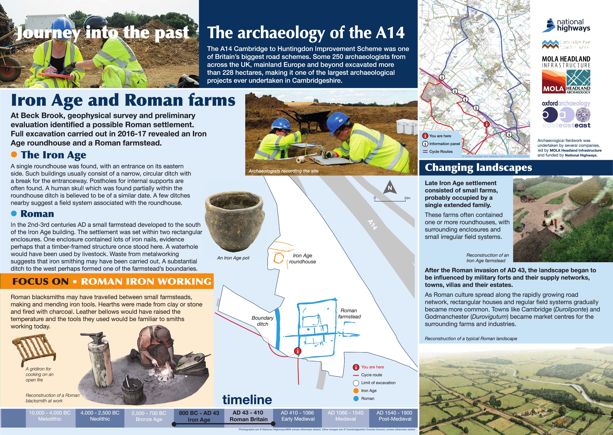
Archaeological investigation at this location included geophysical survey and archaeological evaluation, both identifying potential archaeological remains. The excavation carried out in 2017 recorded a Middle to Late Iron Age farmstead consisting of a single roundhouse and several ditches to the north and a slightly larger Roman farmstead to the south. This settlement consisted of two phases of activity, a mid Roman phase of a rectangular enclosure and several boundary ditches and a later Roman phase with a larger enclosure and a possible building.
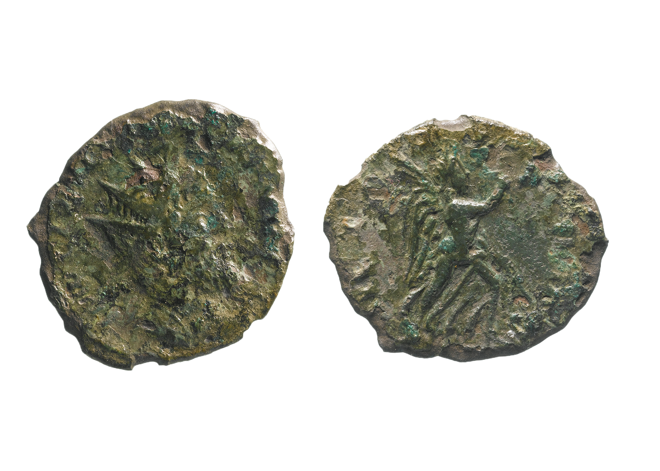
Finds recovered from archaeological investigation can tell us as much as the features themselves; they are used to assign a period of activity, to assign types of activity that occurred, what was eaten and even what the climate was like. Here, for example, waste material from metal working indicate that iron smithing was carried out during the Roman period. Unique finds included a rare coin from the short lived emperor Laelianus who reigned for just two months.
Find out more
Cambridgeshire Historic Environment Records
Middle Iron Age settlement at Girton
Online project archive
A14 Cambridge to Huntingdon Improvement Scheme
News


